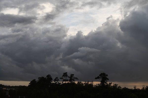
Washington, (Samajweekly) Dangerous high-end category 4 Hurricane Ida has made landfall with maximum sustained winds of about 240 km per hour just west of Grand Isle, Louisiana, bringing life-threatening storm surge, catastrophic winds and massive flooding.
The US weather channel said Ida’s centre crossed the coast near Port Fourchon, which is less than 100 miles south of New Orleans, at 11.55 a.m. on Sunday, reports Xinhua news agency.
Hours later, some 302,000 homes and businesses in the state were without electricity, according to the tracking website poweroutage.us.
“It’s going to be a horrible day. All of the worst things we thought the storm could do I think are about to happen,” National Weather Service Meteorologist Benjamin Schott said shortly before the landfall.
Louisiana Governor John Bel Edwards said at a briefing on Sunday afternoon that Ida is “one of the strongest storms to make landfall here in modern times, as it rapidly intensified at an unprecedented rate, right up until landfall”.
The entirety of the Louisiana National Guard has been activated and currently more than 4,900 guardsmen are deployed across 14 parishes, the Governor said, adding that all of the structures within the state’s Hurricane Protection Systems are fully operational currently.
Ida could dump up to 20 inches of rain on New Orleans, it was forecast.
City officials urged residents who did not evacuate to remain sheltered until the city can assess damage, likely Monday morning.
New Orleans Emergency Management Services tweeted Sunday it has suspended all operations due to Hurricane Ida.
“Be calm in this midst of this storm,” Mayor LaToya Cantrell said. “We will get through this together.”
New Orleans has spent $14 billion to upgrade its flood protection system after suffering from Hurricane Katrina 16 years ago, according to a USA Today report.
However, facing the threat of Ida, Deputy City Administrator Officer Ramsey Green has warned that “it’s an incredibly fragile system. That system can change at any point”.
The National Weather Service has issued an extreme wind warning for far southeast Louisiana.
This means winds of 115 to 150 mph are possible in this area as the eyewall of Ida approaches.
Bands of heavy rain containing strong wind gusts are spreading into the northern Gulf Coast as far east as the Florida Panhandle.
More than 95 per cent of the Gulf of Mexico’s oil production has been shut down due to Hurricane Ida, regulators said on Sunday.
The widespread loss of oil supply from one of US energy hubs is likely to lift prices.
Personnel have been evacuated from a total of 288 oil-and-gas production platforms, according to the Bureau of Safety and Environmental Enforcement. The figure represents about 51 per cent of the manned platforms in the Gulf of Mexico, said a CNN report.
Weakening of Ida to a tropical storm and then a tropical depression is expected as it tracks inland through the lower Mississippi and Tennessee valleys early this week.
Flooding was reportedly already underway in parts of Mississippi.
Ida grew into a Category 4 storm within hours.
The so-called “rapid intensification” is typically defined to be a tropical cyclone intensifying by at least 35 mph in a 24-hour period, according to Colorado State University meteorologist Phil Klotzbach.
That can happen when a storm encounters an extremely conducive environment such as very warm water, low vertical wind shear and high levels of mid-level moisture.
Ida has tied two other hurricanes for the strongest landfall on record in Louisiana based on maximum wind speeds.


