
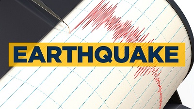
Wellington, (Samajweekly) New Zealand scientists on Tuesday released “Shaking Layers” heatmaps to show the intensity of shaking caused by earthquakes in different parts of the country.
The maps could help emergency responders work out where the highest potential damage to buildings and infrastructure could be, and could also be used by the public to check on the level of shaking that they may have experienced where they are, Xinhua news agency quoted GNS scientists as saying.
The maps incorporate data from ground motion sensors and are automatically produced within 10 to 20 minutes of a magnitude 3.5 or greater earthquake.
Users checking the GeoNet earthquake monitoring website can zoom into the map and get a measure of how strong the shaking was in any area, said GNS seismologist Nick Horspool.
The measure of shaking intensity is underpinned by the modified Mercalli intensity scale, which indicates the earthquake’s effect on people and their environment.
For example, people in an area with a shaking intensity measure of 4 can expect light shaking, where walls may creak, and windows may rattle, he said.
Shaking Layers can aid emergency response by indicating both the level and location of potential damage to buildings and infrastructure, which can support emergency responders to target their resources where they are needed most, Horspool said, adding it also helps engineering assessments, infrastructure management and research into disaster risk reduction.