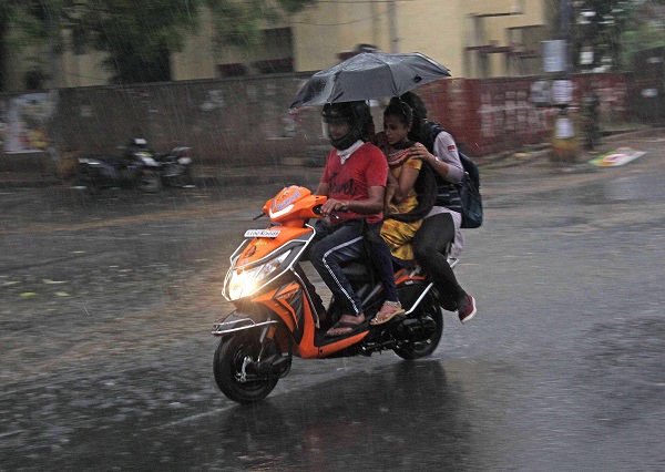
Bengaluru, (Samajweekly) A long trough and two cyclonic circulations would bring more rains to south Karnataka this week, cooling Bengaluru as summer peaks, an official said on Wednesday.
“A long trough from Madhya Pradesh to Tamil Nadu with wind discontinuity and two cyclonic circulations in the Bay of Bengal and Arabian Sea are resulting in moderate summer rains in the state’s southern region, which will continue this week,” Karnataka state Disaster Management Authority Director G.S. Srinivas Reddy told IANS here.
Admitting that such formations during the summer season was unusual, he said the combination of a trough and cyclonic circulations were creating moisture in the atmosphere and forming rain-bearing clouds over the region.
“We are observing a pattern in the system that will result in light to moderate rains, which could be isolated, scattered or widespread depending on the wind movement over the next 2-3 days in the region,” said Reddy.
Moderate to heavy rains lashed 5-6 districts in the state’s southern region, including Bengaluru Urban and Rural, Chikkaballapur, Kolar, Ramanagara and Tumakuru.
“Unlike pre-monsoon or summer showers, the current spell of rains have been intense and widespread on early Wednesday due to favourable conditions in the region,” added Reddy.
According to the regional meteorological office, 80-90mm rainfall was recorded earlier in the day in the region, including Bengaluru, inundating low-laying areas, flooding homes and uprooting trees in many residential areas.
Bruhat Bengaluru Managara Palike (BBMP) Commissioner Anil Kumar tweeted that water flooded some houses in the city’s southeast suburb, as they were in low-laying areas and pumps were used to clear the stagnant water.
Gusty winds and heavy rains uprooted trees in about 20 localities across the city, damaging cars parked below them and inundating the areas.
As extended lockdown has kept the people at homes, there was no vehicular movement on the roads or water-logging in the absence of over-flowing drains.


